
Four Houma ZIP Code Areas
USPS label data identifies four Houma ZIP codes, but it does not publish a city neighborhood boundary map for them. The table uses cautious area descriptions from government addresses, parcel examples, postal labels, and local records. The Houma Post Office at 425 Lafayette Street serves as the confirmed retail location. Exact delivery assignment must still be checked address by address.
| ZIP | Area clues | Postal point or label | Boundary note |
|---|---|---|---|
| 70360 | Central and older Houma, including the Main Street civic core | Houma Post Office, 425 Lafayette Street | Core city-facing ZIP, not a legal city map |
| 70361 | Mailing and PO-box-style examples | Preferred label realigned to Houma 70360 | No separate retail station located |
| 70363 | East and south Houma, Grand Caillou and Ashland-area examples | Houma label after the 2024 change | Can include unincorporated or community addresses |
| 70364 | North and east urban or suburban-edge examples | Grouped in the current Houma label range | Postal and city limits can diverge |
Census ZCTA profiles exist for 70360, 70363, and 70364. A ZCTA is a Census statistical area designed to resemble a ZIP delivery area, not a USPS boundary. The lack of a separate 70361 ZCTA supports treating that code with caution, but it does not prove an official PO-box-only designation.
Houma ZIP Label Changes
USPS Postal Bulletin 22644 records a 2024 preferred-label change. The 70361 label moved under Houma 70360, while 70363 and 70364 moved under Houma 70363. Current USPS L007 data groups 70360 through 70361 and 70363 through 70364 under HOUMA LA 70360. This is a postal sorting and label fact, not an annexation or municipal-boundary decision.
Key distinction. A preferred postal label tells mailers how to format an address. It does not establish that a parcel lies inside Houma city limits.
Older files may preserve the label in use when the record was created. Keep both the old and new postal forms when searching. A deed's legal description, an Assessor situs address, and a mailing label can all be accurate while describing different aspects of the same property.
Note: Verify a complete street address through USPS before treating any label change as an address correction.
Houma Portals That Use ZIP
Official systems do not share one ZIP search design. The voter portal requires a five-digit ZIP in both person and address modes. Louisiana unclaimed property accepts a ZIP alongside a name and city. The Assessor and parish GIS do not expose a standalone ZIP-wide search, so their results must be reached through address, owner, parcel, subdivision, legal description, or map tools.
| Official portal | ZIP input | Result meaning |
|---|---|---|
| USPS ZIP Lookup | Street/city/state, city/state, or cities by ZIP | Postal city, ZIP and delivery-standard context, not a person match |
| Louisiana Voter Portal | Required five digits in voter and address modes | Registration or address-based voter result under state limits |
| Louisiana Unclaimed Property | Name or business, city and ZIP | Possible owner match, not a current address |
| Terrebonne Assessor | No standalone ZIP mode observed | Parcel results reached by its other fields |
| TPCG GIS | No ZIP search field observed | Parcel and boundary context after another search key |
This asymmetry is the most useful fact in the Houma ZIP code directory. A ZIP can narrow a voter or unclaimed-property search, but it cannot produce a complete parcel export from the inspected Assessor or GIS tools.
Find Houma Records by ZIP
Start with the narrowest valid postal fact. Do not assume that all records carrying one Houma ZIP refer to the same neighborhood, ward, or municipality. Confirm the address, then use the record system designed for the next question.
- Enter the full street address in USPS ZIP Lookup. Save the standardized postal city and ZIP.
- Search the physical address in the Terrebonne Assessor portal. Record the parcel, legal description, situs address, and mailing address separately.
- Open TPCG GIS and compare the Houma City Limit, Parish Boundary, ward, waterbody, annexation, and address layers.
- Use the exact five-digit ZIP in the voter portal only when the required name or address fields are also available.
- For an official voter-file extract, request selected criteria and an estimate from Election Services or the Terrebonne Registrar.
Once a result narrows to a named road, the Houma directory by street explains the address-to-parcel chain. ZIP granularity should not replace a street number or parcel identifier.
Houma Voter ZIP Fields
The by-voter form requires first name, last name, ZIP Code, and birth month/year. The ZIP must contain five digits, and birth month/year uses mm/yyyy. Address mode requires ZIP, street address, and a city selected after context loads; apartment or lot is optional. Parish mode uses Terrebonne without a ZIP.
R.S. 18:154 opens voter records during office hours while restricting specific sensitive fields. A purchased list can offer selection criteria and output as a PDF or tab-delimited file, but no stable current fee table or complete per-ZIP registration statistics was located. Contact the Terrebonne Registrar of Voters at Government Tower, Suite 101 for the current local request route.
The Secretary of State voter-list page shows the purchase route used for selected criteria.
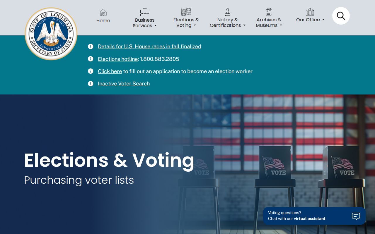
The screen supports a request process, not an unrestricted live directory of every person in a ZIP.
Houma ZIP Property Name Clues
Louisiana's unclaimed-property search is one of the few official name tools that accepts city and ZIP. A possible match can show an owner or co-owner name, former address context, property type, or claim lead. It does not prove that the person still lives at the old address. Claimants must document identity, ownership, or heirship through the state process.
The official Louisiana unclaimed-property search demonstrates this name, city, and ZIP route.
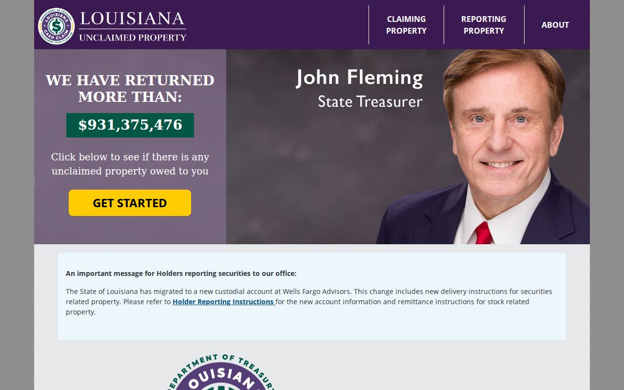
Use the ZIP as a historical place clue, then confirm identity through dated official records.
An old address can remain attached to property long after a move. Save the property ID and listed owner form, follow the state claim instructions, and avoid converting the former ZIP into a current-residence claim.
Houma ZIP Versus City Limits
A postal city can extend beyond an incorporated boundary. Houma records may also use community names such as Bayou Cane, Chauvin, Dulac, Gray, Montegut, or Schriever within the parish setting. Addresses near bayous and unincorporated areas can carry Houma mailing labels while falling outside the city polygon. The reverse problem also occurs when a government record uses a legal municipality different from the everyday postal label.
The best boundary check uses four layers: USPS for the mailing form, the Assessor for the physical parcel, TPCG GIS for city and parish boundaries, and voter ward or parish data for election geography. Keep each label in its own field. That method avoids treating 70363 or 70364 as a city-limit outline.
- ZIP Code
- A USPS delivery code. It is not a municipal boundary.
- ZIP+4
- The five-digit ZIP plus four digits that narrow a delivery segment.
- PO-box ZIP
- A code used mainly or solely for post-office boxes when USPS designates it that way.
- Unique ZIP
- A ZIP assigned to a high-volume organization rather than a broad area.
- Carrier route
- A delivery path within a ZIP, not a neighborhood or city district.
Houma ZIP Address Continuity
Historical Houma sources predate ZIP codes. The 1897 parish directory uses streets, rural sections, offices, and plantations. Sanborn maps use blocks and sheets. Deeds rely on legal descriptions. A modern ZIP should not be added to an old entry unless a later source independently connects it.
Street names also change. A 2025 ordinance renamed Billy Street as Hazel Boykin Street, effective April 21, and added the change to Enhanced 911. Earlier 2001 ordinances addressed duplicate names. Louisiana R.S. 18:201 requires a certified report to the registrar when a parish or municipality renames streets or renumbers addresses, creating a bridge between old and new voter-address forms.
TPCG documented a master address database and 55,125 digitized structure addresses in its 2004 budget. That figure is historical evidence of the E911 and GIS transition, not today's address count. It explains why a search may need an old street name, a current E911 form, a parcel number, and a legal description.
Note: Preserve the former name, current name, effective date, postal ZIP, and parcel key as separate facts.
Limits of Houma ZIP Lookup
No official city ZIP-to-neighborhood map, Assessor ZIP-wide export, or current registration table by Houma ZIP was found. Census ZCTA totals should not fill those gaps because ZCTAs are statistical areas. Community names from local records also should not be promoted into official neighborhood boundaries.
A Houma ZIP code directory is a first filter. Use it to choose the right postal form or portal field. Then verify the exact address against USPS, the parcel against the Assessor, and legal geography against TPCG GIS. If a government file lacks a portal, request the narrow record under Louisiana Public Records Law and include the full address, date range, record type, and desired format.
Keep the lookup date with every result. USPS labels, voter status, parcel data, and GIS boundaries can change on different schedules, so a ZIP match from one system should not silently replace the wording found in another.
When results conflict, keep both dated labels and ask the responsible custodian which one is current.