
Houma Neighbors Across Public Rolls
A useful block search separates land, people, and civic contacts. Terrebonne's map defines nearby parcels. The Assessor names the assessed owner for each parcel, while the voter portal can check a specific address under strict limits. Neighborhood Watch announcements identify public group contacts, not private members.
| Official or local source | Block fact available | How access works |
|---|---|---|
| Terrebonne Assessor map | Adjacent parcels, structures, map layers, and parcel numbers | Open map with click, selection, and buffer tools |
| Assessor parcel detail | Owner name, mailing and physical addresses, legal description, values, homestead, deed clues | Free parcel-by-parcel search |
| Clerk deeds and plats | Ownership sequence, lot/block, subdivision, and recorded rights | Paid online index, office search, or copies |
| Louisiana voter portal | Registration connected to a specified address | Address form with ZIP and city; statutory limits apply |
| Neighborhood Watch notices | Dated group names and a government contact | Public TPCG announcements, not member rosters |
| Permits and nuisance records | Project or complaint address and named roles when releasable | Form, office, MGO route, or public-record request |
| Directories and Sanborn maps | Past occupants, firms, streets, and building context | Library, digitized book, and map collections |
An assessed owner is not always an occupant. A voter match does not account for every adult or child at an address. The safe conclusion is narrow: state what the dated record shows, preserve the role, and do not fill gaps with guesses.
Buffer a Houma Block
The Terrebonne Assessor map provides the most concrete official route from one address to the parcels around it. Search by physical address, parcel number, owner name, subdivision, or section, township, and range. The map also exposes parcel, address, street-centerline, structure, zoning, ward, historic-district, annexation, and boundary layers.
- Locate the target address and confirm the physical parcel, not just the tax mailing label.
- Select that parcel and choose Neighborhood View or Buffer on Selected Parcel.
- Start with the default distance of 200 feet, then adjust the value and units if the block has wide roads, canals, or irregular lots.
- Open each adjacent parcel, record its parcel number, and inspect the matching Assessor detail.
- Save the map date, layer name, physical address, owner role, and any deed reference before drawing a conclusion.
Buffer means drawing a measured zone around a selected map feature. It is a research aid, not a legal definition of neighbor. Feet, miles, kilometers, meters, nautical miles, US nautical miles, and degrees appear as unit choices. The field checklist can include parcel number, assessed values, square footage, quality class, and sales fields.
Insider tip. Use parcel shape and street access, not distance alone, when a bayou, canal, boundary, or long rural tract cuts through the block.
Read Houma Neighbor Boundaries
Nearby homes can fall under different civic labels. TPCG's GIS service includes city limit, parish boundary, wards, council, school, fire-tax, road-lighting, urban-services, historic-district, zoning, waterbody, address, street, and annexation context. A parcel across a canal may be close in space but tied to another ward or service district.
Keep the layer date and title. GIS is reference material and does not replace a survey or recorded plat. For a full named-road chain, move from the immediate block to the Houma street directory, which follows modern address records along the street.
Houma Owners Are Not Occupants
The Assessor distinguishes physical and mailing addresses. Physical address, also called situs, locates the parcel. Mailing address routes tax notices and may be outside Houma. An estate, trust, company, or group of owners may appear instead of a single person. A homestead field is another assessment fact, not a public household roll.
This is the key myth to avoid when looking for your neighbors: an owner name, postal city, voter address, and mapped parcel are not interchangeable. Each field answers a different question. A renter, relative, caregiver, or other household member may not appear in any of them.
| Official record | Strong conclusion | Conclusion to avoid |
|---|---|---|
| Assessor | Named assessed owner at the roll date | Every current occupant |
| Deed | Parties to a recorded transfer | Who occupies the home now |
| Voter lookup | Registration match for the entered address | A full household roster |
| Commercial compilation | An unverified lead assembled from mixed sources | An official or current block record |
Houma Neighbor Voter Limits
The Louisiana Voter Portal address search asks for ZIP, address, optional apartment or lot, and city. It can connect registered voters to the specified address, but the blank form provides no street-wide browse or map. Check an authorized address one at a time and retain the search date.
Louisiana R.S. 18:154 restricts sensitive voter fields and their use. Social Security and driver's-license numbers, day and month of birth, mother's maiden name, email, SMS number, certain youth and military fields, and protected physical mailing addresses do not belong in a block list. A person who is not returned may be unregistered, protected, entered under another valid address form, or simply outside the portal's match. Do not infer household status from silence.
Houma Neighborhood Watch Contacts
TPCG National Night Out notices provide a civic layer rather than a resident directory. The dated lists name groups such as Bayou Towers, Bonne Terre Village/Barataria Station, East Park, Mandalay Woods, Maple Association, High Street, Jefferson Davis, Wright Avenue, Westgate Lagoon, and Southdown West. They show past public participation. They do not prove that each group remains active or disclose who belongs.
TPCG Neighborhood Watch
Nicole Voisin
985-873-6371
nvoisin@tpcg.org
TPCG Boards and Commissions
Public rosters identify civic appointees and terms. They are role-based records, not neighborhood membership lists.
Terrebonne Parish Library
Local directories, maps, news, yearbooks, church records, and history sources can place an older block in time.
Open the TPCG Neighborhood Watch group list to see how outreach locations and public contacts were presented.
The announcement supports a contact trail, not a private roster. Ask the listed office for current public contact information.
Houma Permits and Nuisance Files
Address-based public files can add a dated event to block research. TPCG's permit page identifies its permit and license office and routes users to MGO Connect, but a complete public result search was not verified. The public-record fallback needs an exact address, parcel number, date range, and record type. A permit may identify an owner, applicant, contractor, or contact, each in a distinct role.
Review the TPCG permits page before calling or making a narrow request.
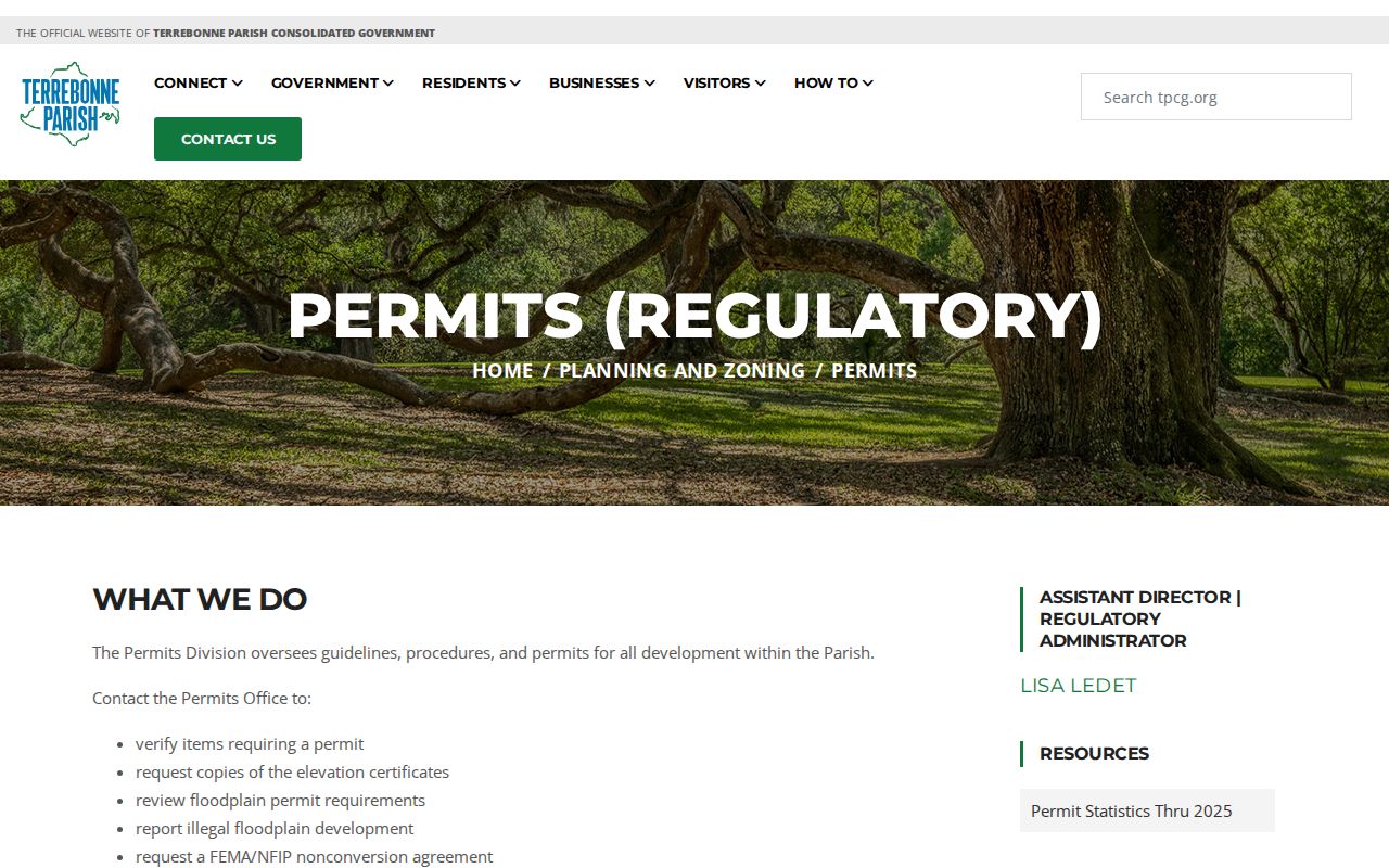
The page confirms the office and online route, while older or unindexed records may still need staff help or a Louisiana Public Records Law request.
A nuisance file is complaint-specific. The TPCG nuisance form asks for an address, violation type, narrative, photo, anonymity choice, and contact details.
A submitted complaint does not prove the claim. Use the released inspection, notice, action, and date to understand what the agency found.
Historic Houma Neighbors by Block
The modern parcel view can be paired with old Houma directories and Sanborn maps. Terrebonne Parish Library states that its directory run spans 1897 to the present, though every year is not itemized online. Its local collection also lists Sanborn maps from 1867 through 1970 and census extracts from 1840 through 1910 except 1890.
Start with an old street entry, confirm the map block and building, then compare the nearest directory and census date. House numbers and names can change, so retain the subdivision, lot, deed, and map sheet. This historical method answers who appeared near an address in a dated source. It should not be used to claim that the same family or structure remains there.
Privacy for Houma Neighbor Lookups
Private or uncertain parts of a block include unnamed household members, utility customers, protected voter addresses, DMV data, confidential vital records, sealed adoption files, and sealed court matters. Louisiana's Address Confidentiality Program gives qualifying participants a substitute address. Never try to work backward from that address to a physical location.
Official sources have limits, but commercial neighbor tools can add more error because they merge records from different dates and people. Use them, if encountered, only as unverified leads. Return to the Assessor, GIS, Clerk, voter custodian, TPCG, library, or relevant group for the dated original.
Keep each nearby parcel on its own row. Record the parcel number, situs address, owner role, mailing-address label, deed reference, map layer, and access date. If a voter-address check is relevant, note only what the lawful query confirms and do not publish a block list. For civic contacts, preserve the date of the Neighborhood Watch notice or board roster because a past outreach group may no longer be active.
Map layers also serve different functions. City limits, parish boundaries, wards, zoning, historic districts, waterbodies, annexation, structures, and street centerlines provide context, not proof of who lives inside a building. The Assessor map is reference material rather than a survey. When a parcel edge or legal boundary matters, follow the parcel identifier to the assessment record and recorded plat or deed instead of measuring it from the screen.
That separation keeps a block study tied to public facts and avoids claims about private household membership.
Lawful use. Look up Houma neighbors for civic contact, reconnection, or personal safety, never to watch, harass, intimidate, or harm anyone.